DRONE FLIGHT
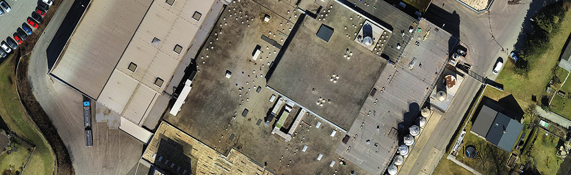
We use multicopters with system cameras to overfly small areas with a high resolution of under 1 cm per pixel. This allows areas to be overflown that would be very difficult to reach or dangerous to step on with normal methods. Our engineers evaluate the data using the latest photogrammetric processes.
PHOTOGRAMMETRY
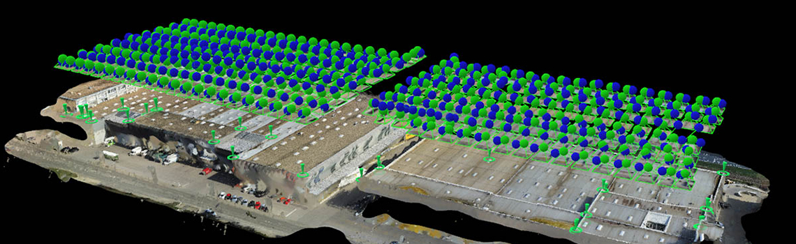
Recent years have seen tremendous advances in the field of lightweight unmanned aircraft. They are easy to transport and quick and flexible to use. With the aid of lightweight image sensors and powerful algorithms for automatic picture orientation and extraction of dense surfaces, drones have developed into precise and cost-effective recording systems for various measurement applications.
PHOTO FLIGHT
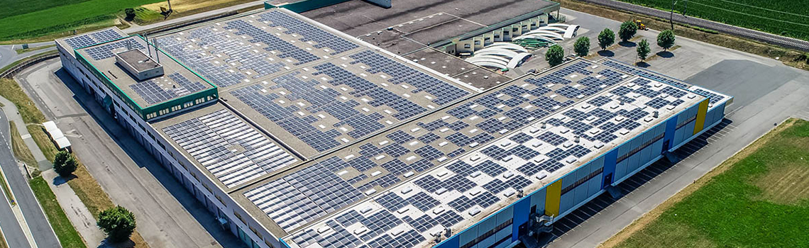
Inspection flights over buildings and structures (industrial, commercial, private). Inspection of difficult-to-access sites; cost-effective due to the rapid deployment without the need for heavy equipment (boom lift, crane etc.). Maintenance certificates for insurance documentation (initial and damage states)
46
operated objectsm² calculated
28 satisfied customers